Skip to content

Struve Geodetic Arc – Rudi point

History

The Struve Geodetic Arc is a network of 19th-century survey points used to measure the shape of the Earth, inscribed on the UNESCO World Heritage List in 2005; it is the only UNESCO site in the Republic of Moldova. The Rudi point, next to Rudi village near Dondușeni, is the best-known Moldovan point: it was first built in 1847 and a monument was raised there in 2006. The Rudi monastery, built in 1777, stands nearby.

  • How long it takes
    1 h
  • Where
    Moldova
    ~161 km from Chișinău, as the crow flies
  • Who it suits
    Families, couples, solo travellers, groups

On the map

Chișinău ~161 km Struve Geodetic Arc – Rudi point (~161 km from Chișinău, as the crow flies)

A rough sketch. The distance is in a straight line, not by road.

More places nearby

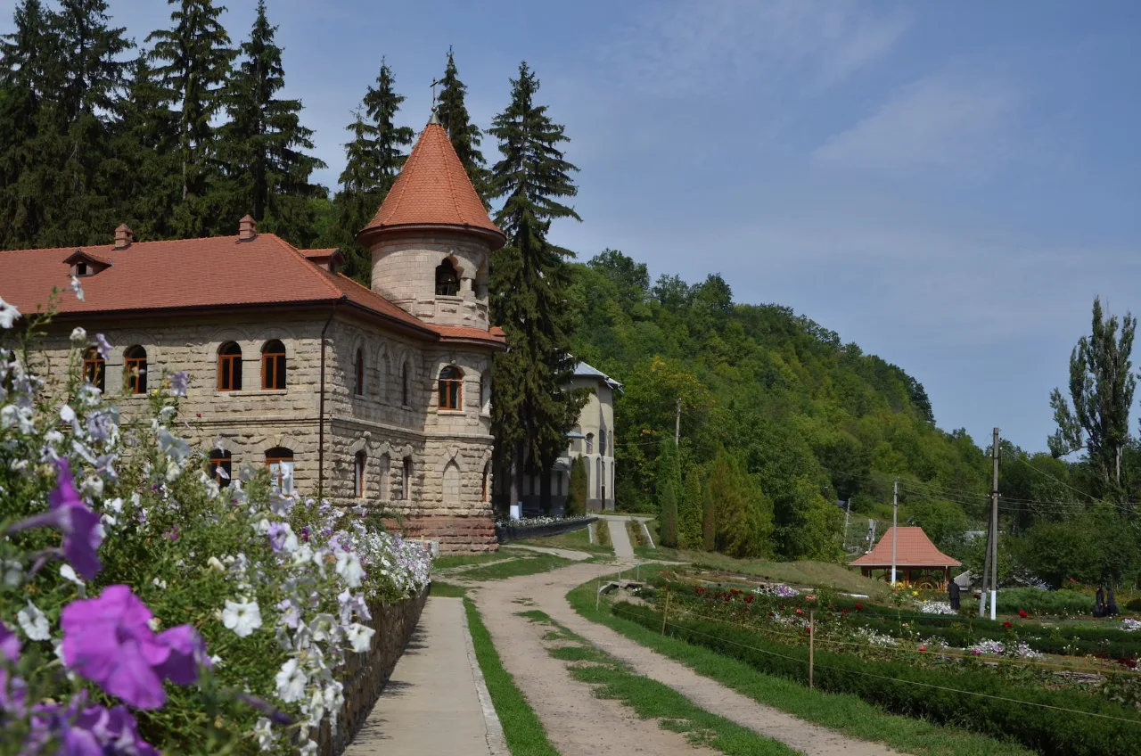
Photo of Rudi Monastery

Monasteries and churches

Rudi Monastery

~2 km away · 1 h · Northern Moldova

Photo of La Moșia Eco

Rural tourism

La Moșia Eco

~13 km away · Northern Moldova

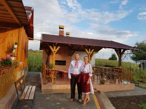
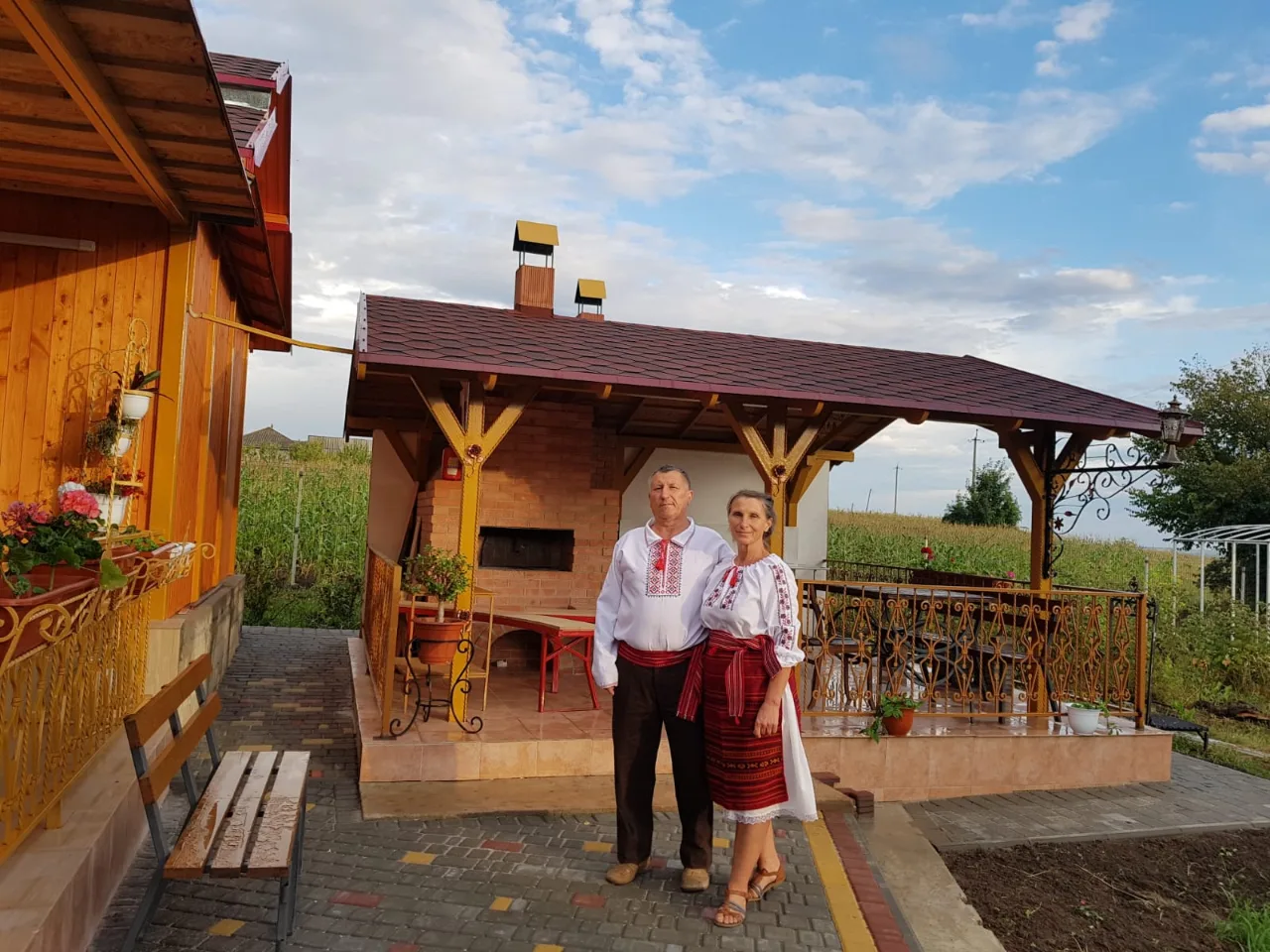
Photo of Pension "La Nea Ion"

Rural tourism

Pension "La Nea Ion"

~19 km away · Northern Moldova